Effect of Atmospheric Corrections on NDVI: Intercomparability of Landsat 8, Sentinel-2, and UAV Sensors


September 2021, Remote Sensing 13(3550):1-14
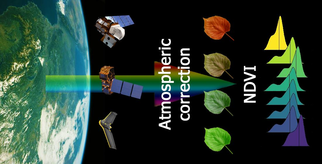
Sentinel-2 and Landsat 8 satellites constitute an unprecedented source of freely accessible satellite imagery. To produce precise outputs from the satellite data, however, proper use of atmospheric correction methods is crucial. In this work, we tested the performance of six different atmospheric correction methods (QUAC, FLAASH, DOS, ACOLITE, 6S, and Sen2Cor), together with atmospheric correction given by providers, non-corrected image, and images acquired using an unmanned aerial vehicle while working with the normalised difference vegetation index (NDVI) as the most widely used index. We tested their performance across urban, rural, and vegetated land cover types. Our results show a substantial impact from the choice of the atmospheric correction method on the resulting NDVI. Moreover, we demonstrate that proper use of atmospheric correction methods can increase the intercomparability between data from Landsat 8 and Sentinel-2 satellite imagery.